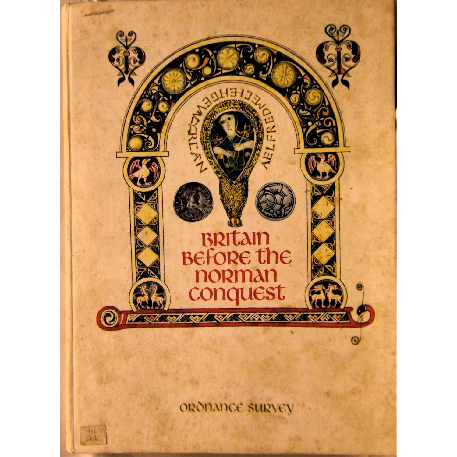
I found this book in my local Oxfam bookshop for the princely sum of £2.49. Published by the ordnance survey in 1973 it is a slim A4 hardback which contains 30 pages or so of brief descriptive text about the makeup of the British Isles pre-1066 (sadly not Ireland). There's information here on the Danelaw and Danish settlements, town organisation, church settlements and fortifications.
From my point of view the text parts on the Norse in Scotland and the section on the Isle of Man were both useful and the map of northern Britain is helpful for placing various places mention in the Somerled book I recently finished.


I might have to get that book, it sounds very interesting. Thanks for pointing it out.
ReplyDeleteLooks like a great find.
ReplyDelete